|
A range of shade palettes are supplied and you can create and edit your own. Each palette comprises one or more flooded regions and individual colour bands can also be superimposed anywhere on the palette. When in graphics view you can change the palette either by using the palette tools (next palette, previous palette, invert palette) or by bringing up the graphics parameter form. You can quickly display the Shade and Trace parameters forms by clicking on two special icons on the horizontal toolbar, or by choosing from the Graphics menu as normal.
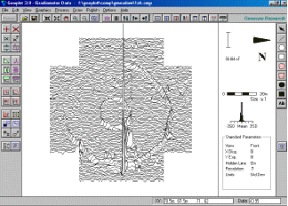
Grid lines and numbers can optionally be superimposed on graphics plots, as well as your own user defined grid. As you move the mouse over a graphics plot its x, y co-ordinates are reported on the status bar (in both metres and reading units), along with the data value at that point. You can set any colour you like for the graphics screen background, dummy values etc. using the Graphics Options. Plot details can optionally be displayed on the right-hand side of the screen which includes palette or trace scale-bar, distance scale-bar, plotting parameters, direction of first traverse and histogram. The resolution of the numbers on the palette scale-bar can be controlled using the Graphics Options form. If you apply the Spectrum process to the data the plot details on the right-hand side will change to show spectrum units and the co-ordinates reported on the status bar, as the mouse moves, will show x position and frequency, instead of x and y co-ordinates.
A default style printout of a graphics plot can be made to any scale or print size using the File menu. You can choose whether you want to : (a) plot the whole data set, (b) a specific block, or (c) just what you see on screen. Graphics plots, palette scale-bars, north symbols histograms and distance scale-bars can also be saved to files. These can subsequently be imported into the publish view, at a specific scale, for publishing. Alternatively, you can use the saved bit-map for importing into other Windows packages. An animation facility on the Graphics menu allows different views of one data set, or data sets from different instruments over the same area, to be visually compared.
|
|